Asset inventory
A geolocated register of signals, signage, posts, switches and structures, rebuilt on every pass.
Rail imagery intelligence
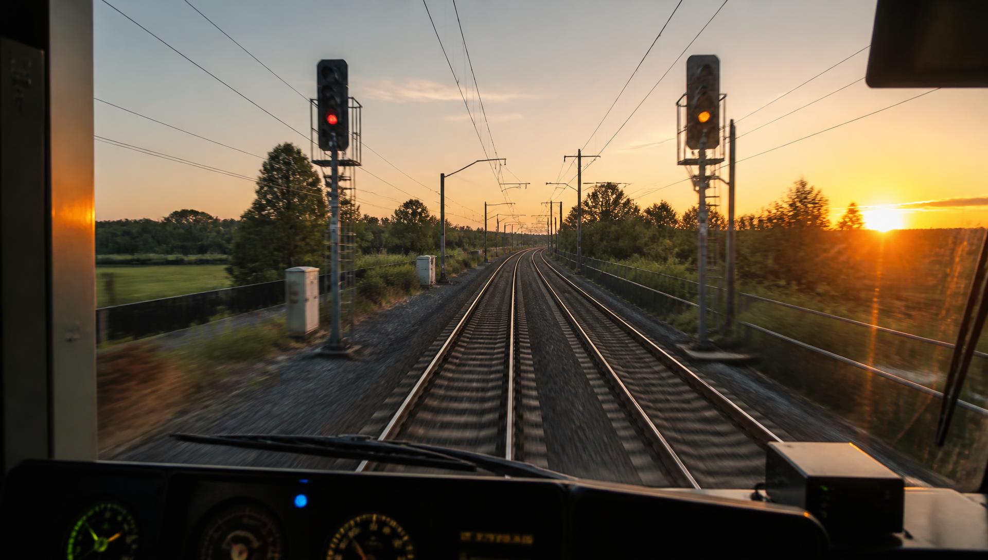
RailMap.ai turns cab, trolley and drone footage into a searchable, street-level record of your network — with signals, signage, switches, ballast and vegetation detected automatically on every pass.
30,000 mi
Track modelled in demo networks
27
Asset classes detected
4×
Faster than walked inspections
< 24 h
From capture to searchable
Stop sending crews trackside to answer questions the imagery already knows.
A geolocated register of signals, signage, posts, switches and structures, rebuilt on every pass.
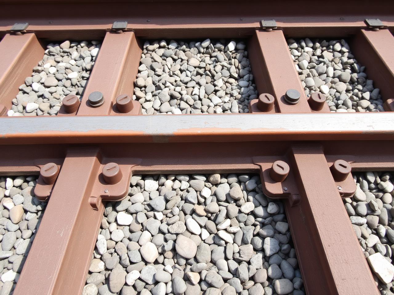
Ballast loss, fastening wear and surface damage surfaced as ranked work items with confidence scores.
Encroachment into the clearance envelope measured from imagery and point cloud, season over season.
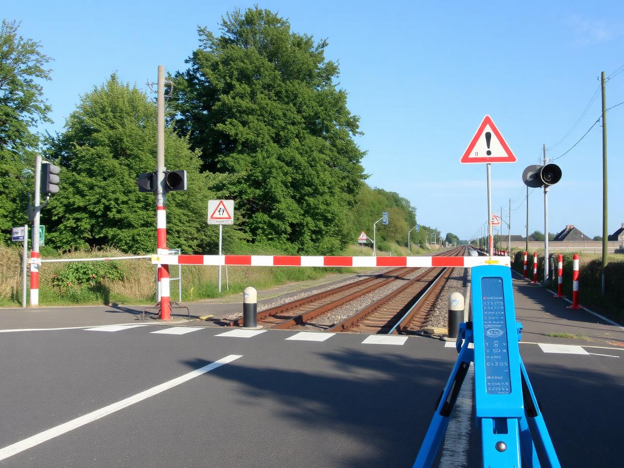
Every level crossing photographed, signage legibility checked, sightlines evidenced for audits.
How it works
Cab-mounted, trolley or drone cameras record the corridor at line speed. No possession required.
Frames are positioned against your linear referencing, so every image carries a line and mile.
Models detect assets and conditions, then compare each pass to the last for change detection.
Browse in the map, push work items to your maintenance system, or pull everything through the API.
Each detection links back to the frame it came from, with capture date, camera and confidence. Auditors see the photo, planners see the trend, and nobody argues about whether the defect was there in March.
We will run a pilot corridor with you and hand back a searchable record in weeks.