Flexible capture
Mount on service trains, engineering trolleys, road-rail vehicles or fly the corridor. Consumer-grade to survey-grade rigs are all ingested through the same pipeline.
Platform
One pipeline handles capture, positioning, extraction and comparison — so the imagery you record this week answers questions you have not asked yet.
Mount on service trains, engineering trolleys, road-rail vehicles or fly the corridor. Consumer-grade to survey-grade rigs are all ingested through the same pipeline.
Frames are matched to your line and mile model, not just GPS, so results land where your teams already work — including in tunnels and cuttings.
Overlapping frames are fused into a point cloud, giving measurable clearance, cant, and structure positions from ordinary imagery.
Signals, signage, mileposts, switches and crossings, sleepers, fastenings, ballast profile, catenary and vegetation, each with a confidence score.
Every new pass is compared with the previous one. Movement, loss, damage and new obstructions become ranked items instead of hours of review.
Imagery, detections and geometry are available through the API, tiles and bulk export, ready for your GIS and asset management systems.
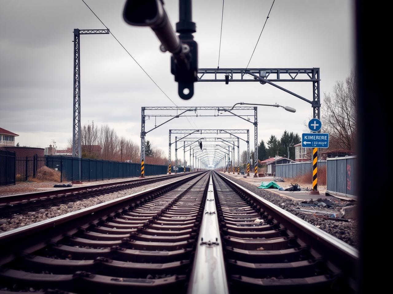
A single aligned frame carries far more than a photograph. It is a positioned, classified observation your whole organisation can cite.